Maps of AfghanistanPeter Loud |
|
Hi Guys,
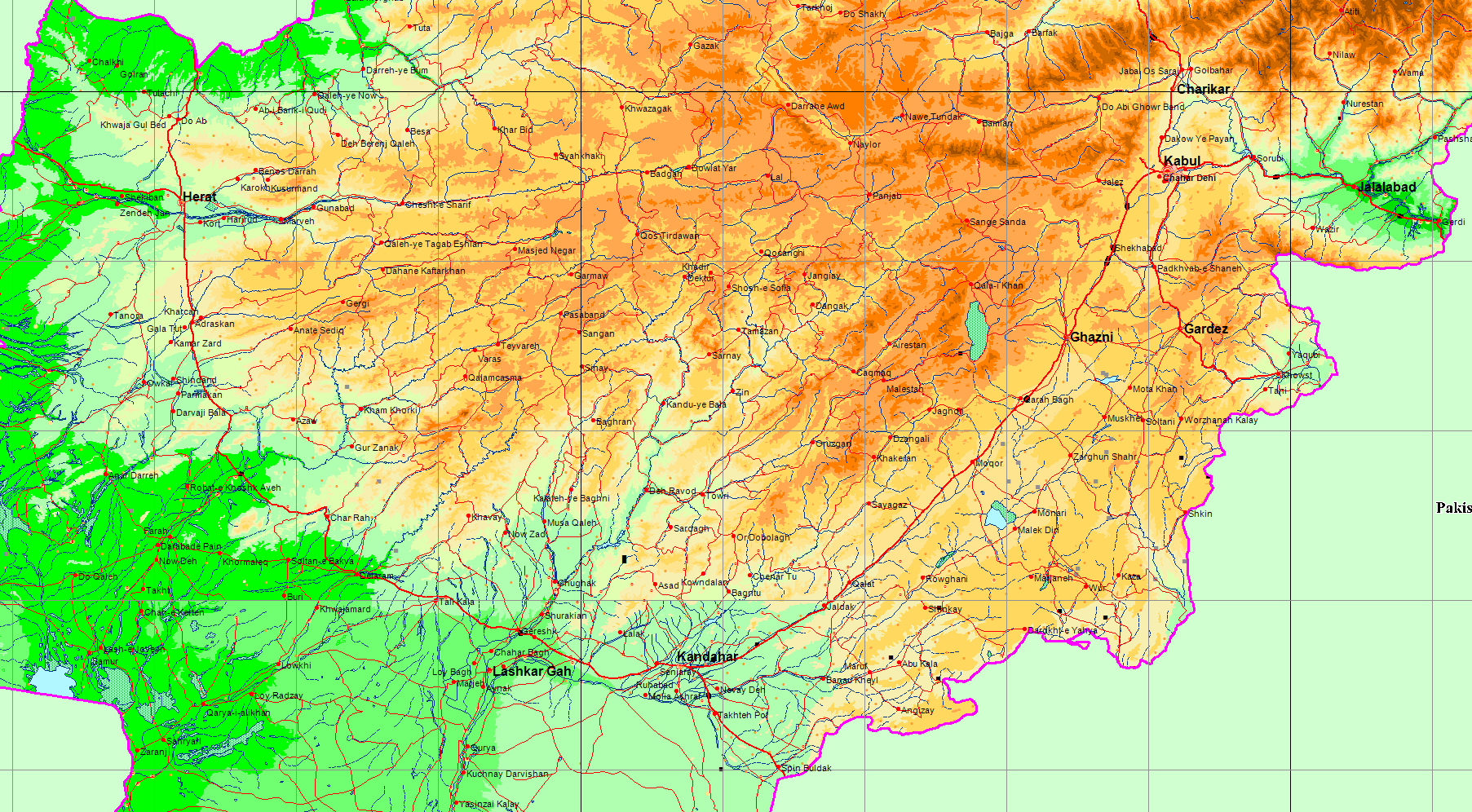
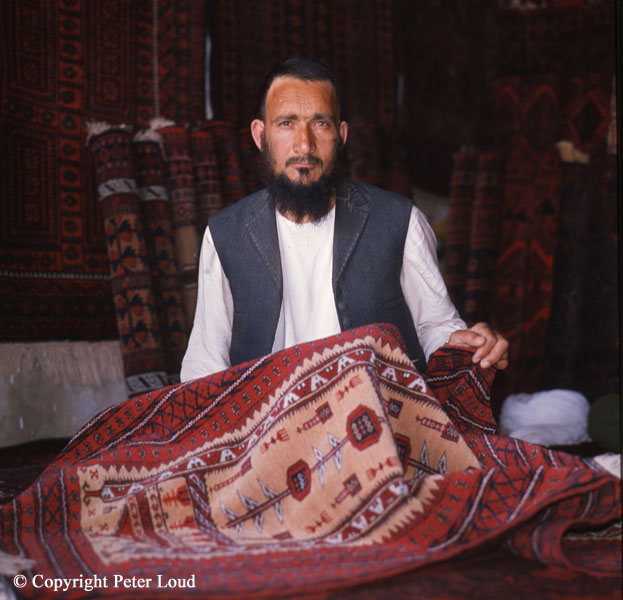
It's quite a while since I did any serious travelling around Afghanistan,
it was in the days when a kilo of best Mazar Black cost $10 and Bill didn't inhale. It's true :-)
(No, not about about Bill not inhaling, about the price of Mazar Black. Hmmm, I wonder if Hillary inhaled?) |
|
|
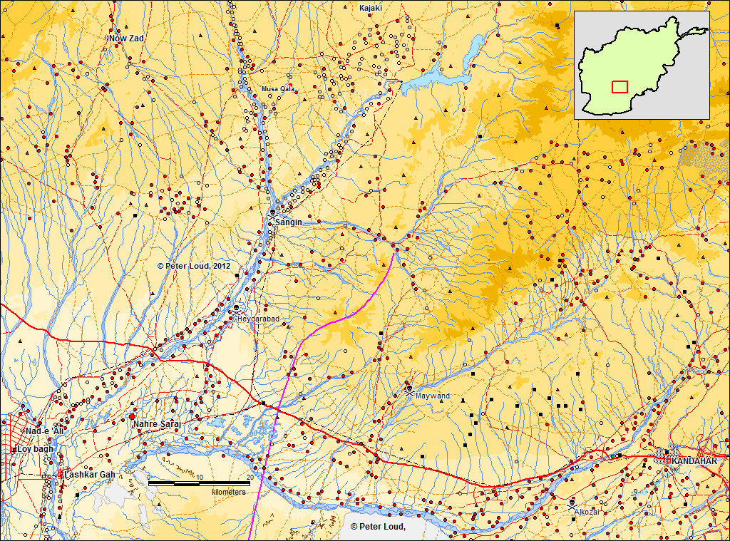
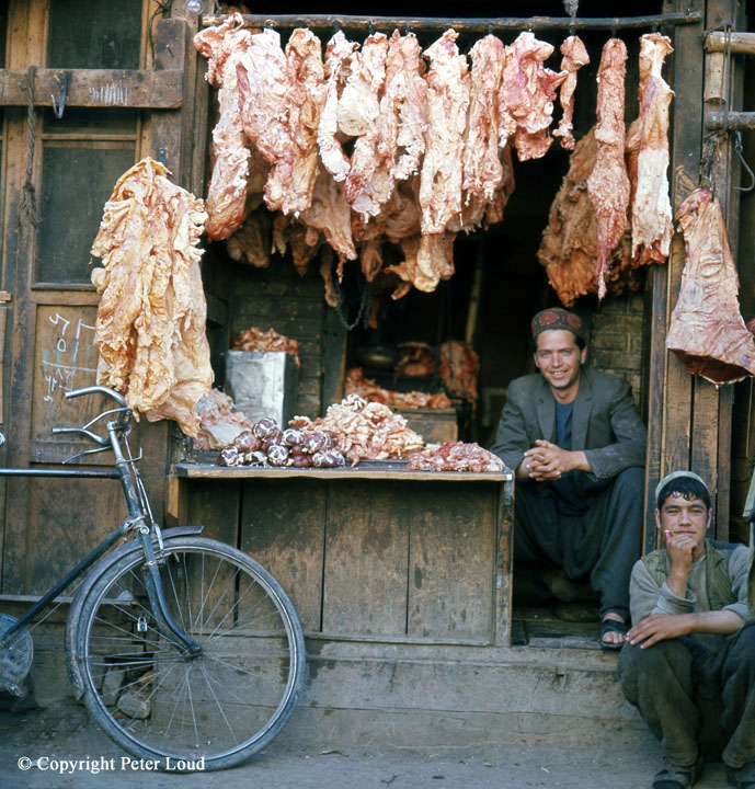
The tea and the cherry pies in Kabul were great too, Mmmmm!. The butcher's shops were less appetising. Afghanistan has been receiving a lot of attention recently, so here are a few maps that I've developed. If you are a commercial organisation you could buy the fully detailed GIS. I created this website about 20 years ago using HTML 3, which means that its code is mostly obsolete, so there are a variety of problems, but it still seems to be working, just. |

![]() |
|
Long before Tony Blair started his crusade against Islam I stopped one morning by the river between Lashkar Gah & Sangin to wash. The river was full of aggressive crabs. Until then I had never thought of crabs living in fresh water. |

|
These maps have been developed from the |
|
It's a pity these are just screen dumps of around 800 x 1000 pixels, when
they are done full size all the detail comes out,
they are fantastic, (but that's commercial and costs money ;-(
South East Afghanistan, Kabul - Kandahar Afghanistan, Jalalabad & Pakistan North Afghanistan, Mazar-i-Sharif Tora Bora area, but bin Laden sneaked away. |
|
|
Afghans, Herat
|
The Great Mosque, Herat
|
Musalla Complex, Herat
|
Carpet Sellers,
|
Recycling, Herat
|
Afghan Coat Shops,
|
|
Butcher's Shop, Herat
|
Kabul to Khyber Pass
|
Central Afghanistan, December 1970
|
Copyright Peter Loud 1970-2015
No part of these Web pages
may be reproduced without written permission from Peter Loud,
but you are welcome to create a link, from your web pages, to:
"Maps of Afghanistan by Peter Loud",
www.peterloud.co.uk/afghanistan/
|
For further information contact Peter Loud
|