For the first time in ages, ( it's now Aug. 2007), I have looked at my website and realise that it needs a major revision.
I started this in 1997, simply writing the html code. It now looks very dated and has lots of basic mistakes.
I need to restructure my whole website, but now there are over 200 web-pages and hundreds of photographs so it is a big job.
For all of its faults it's not that bad so the big revision will have to wait. Now my latest interest is photography, check out my photos website below,
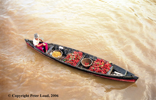
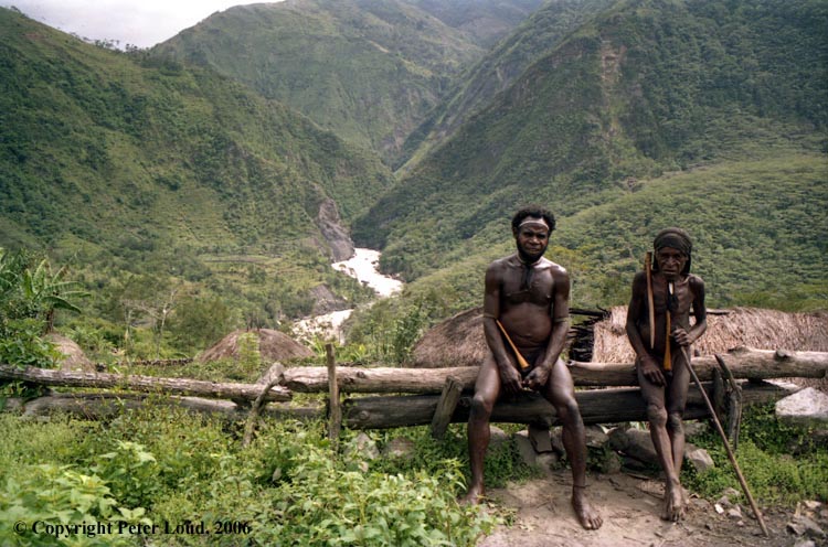
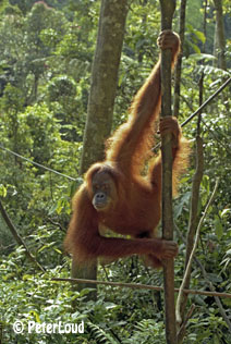
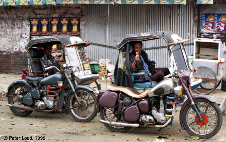
these Indonesian pictures were just holiday snaps I took while working out there.
At present, April 2005, I'm in UK taking it easy
and reaping the benefits of being retired. I am learning to play the fiddle and concertina, working on a
book of Northumbrian and Celtic fiddle tunes
and repairing concertinas. I also spend my time map-making just because I find it interesting and enjoyable.
I'm often at a loose end, so if your company, anywhere in the world, is looking for an MIS/GIS specialist
please contact me.
A while back I had assignments in
The Philippines, The Maldives, working with UNHCR in Timor, and The Bahamas. While travelling around South East Asia,
I found time to sail across the Indian Ocean, from Bali to Mauritius.
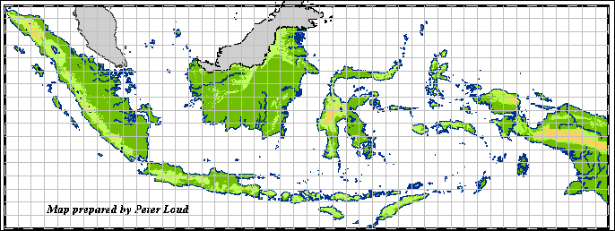
For a while I haven't had much time to develop my maps of Indonesia.
I got caught up in making a set of maps of the world in MapInfo format, and afterwards ESRI Shapefile format,
for commercial purposes. Check
out my latest Digital Maps of the World.
More recently I cobbled together a website with maps & information on the tsunami, as mentioned at the beginning.
If any of you who visit my web site have access to any GIS
data for Indonesia which will help me to improve my maps I would
be delighted if you sent me a copy.
For a long, long time I have been neglecting my 'Maps of Indonesia' website,
which is sad because this was my first website. I keep sticking in changes without
having a serious rethink of what it's all about. My latest addition are a few holiday snapshots from '89-2000.
After a holiday in Yogya in 2010 and another in South Sulawesi in 2012/3 I have added some more recent photographs. Check out my photos website listed below.
Recently I have found several web sites ripping-off and using using my maps and photos
without authority so I'm having to fiddle around with the maps & photos to discourage this.
I apologise if this creates a few problems. Please don't rip-off my
maps & photos, they represent a considerable amount of work.

 .
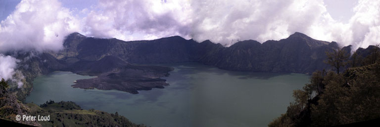
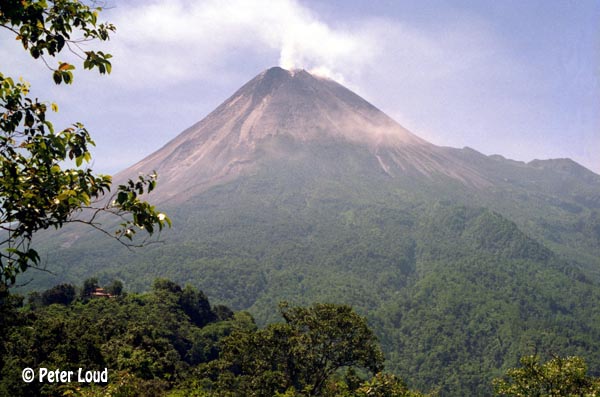
Jawa, Bali & Lombok
.
Jawa, Bali & Lombok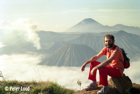
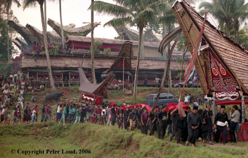
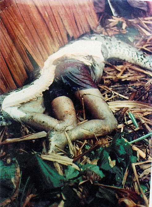 Photo of man swallowed by snake.